Visiting Big Bend National Park
Big Bend National Park is a place I’ve always wanted to visit, but it’s such a remote and hard to reach destination that it seemed I’d never truly make it here. Big Bend isn’t close to any major city and the closest airport puts you at least a couple hours driving. I came from Austin Texas which is right in the middle of Texas and it still took me a good 8 hours of driving covering about 500 miles or 800 kilometers. I honestly believe that Big Bend is one of the top three most remote and difficult to reach national parks in the continent United States. Located right along the Rio Grande, this national park forms part of America’s border with Mexico and is home to hot dry deserts as well as altitudes that reach over 7,000 feet. What makes Big Bend so special is it’s possible to go hiking in high altitude forests which are home to mountain lions and bears then descend down to the desert where you’ll find rattlesnakes, kangaroo rats, and temperatures that exceed 115 degrees all in the same day.
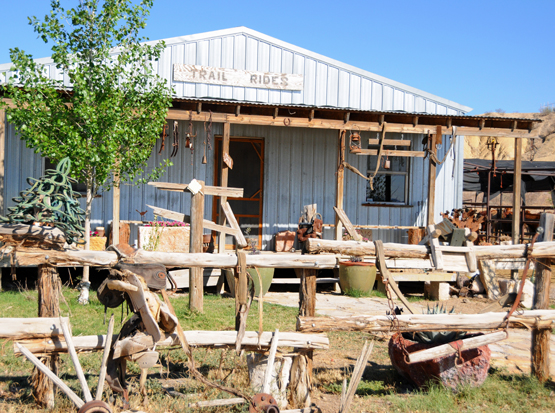
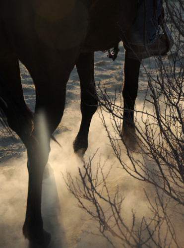
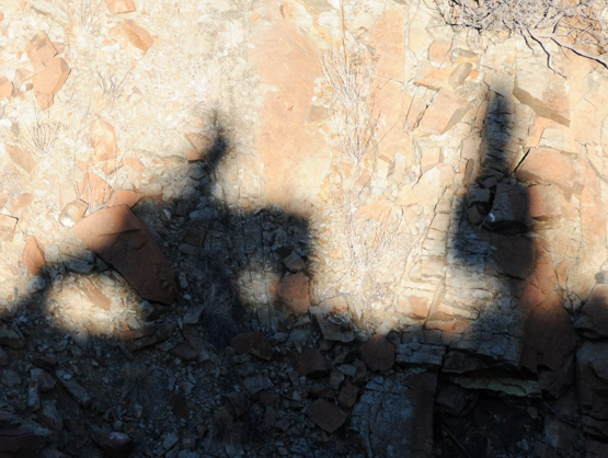
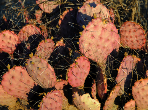
One of the first things I did after arriving in Big Bend was go horseback riding. Above are shots I took where we rode horses up a small but steep mountain that was covered with prickly cacti. The horses slipped stumbled in the steep terrain, but we safely rode back down through the desert as the sun was setting.
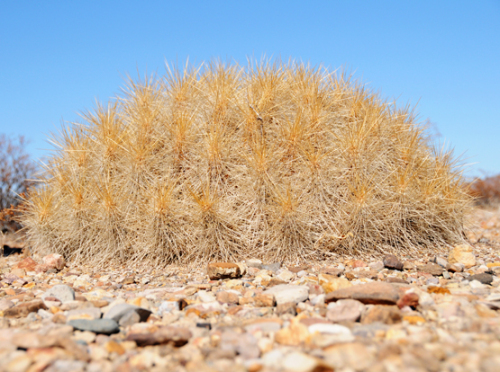
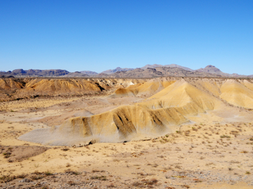
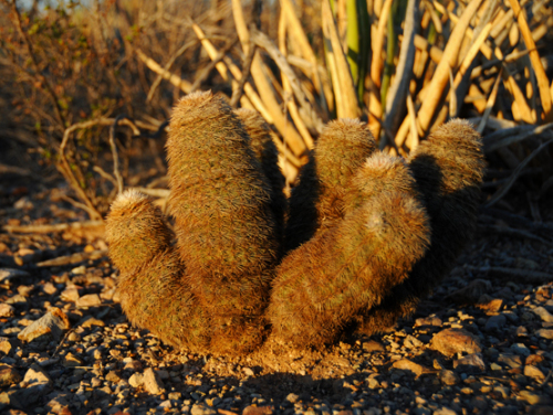
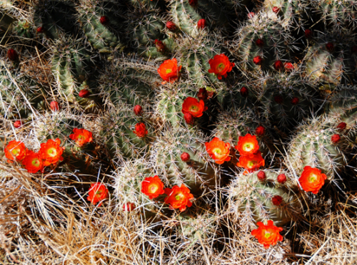
The horseback riding was a few hours in the evening, and other than that ride I spend the rest of the time either driving or hiking through Big Bend. Above and below is some of the common plant life we saw in the desert. Above is a species of cactus that looks sort of fluffy, but I didn’t stick my hand into to find out. The dry desert here has lots of flash flood carved canyons like the one on the upper right. When I visited Big Bend, a local told me they haven’t had rain in over a year here. Only small desert plants can survive the hot and dry climate of the lower desert. Below is is another species of cactus on the left, and what I believe to be a strawberry cactus in bloom on the lower right.
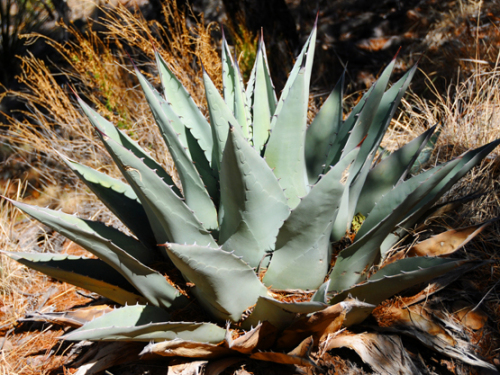
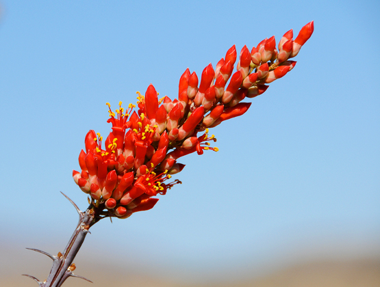
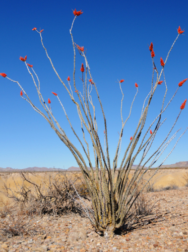
Three species of plants in this desert that I’m sure of are the Agave above, the Purple Prickly Pear on the upper right, and a photo of an Ocotillo flower below and the entire plant on the lower right. The Agave plant has a large range from southwestern America all the way South through Chile and Argentina. The Purple Prickly Pear gets its name from its pear like buds that are sold as fruit in markets. Native Americans used this fruit to make drinks as well as alcohol from. And finally the Ocotillo, it is not a true cactus but lives in the desert of the United States and Mexico. It comes with a lot of names such as desert coral, coach whip, Jacob’s staff and is famous for its bright red flowers.
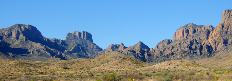
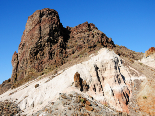
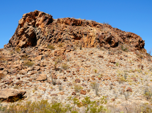
If you’re not into the small plants and cacti that live in the desert, you’ll still be taken back by the natural beauty of Big Bend’s desert landscape. I arrived to Big Bend with little expectations, so I was taken by surprise with the towering desert mountains and rock formations of different colors that were especially beautiful in the sunset. Above is a photo from about 4,000 feet elevation, below are two photos that are closer to 2,000 feet in elevation where its much hotter and dryer with less vegetation.
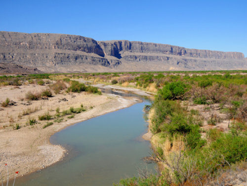
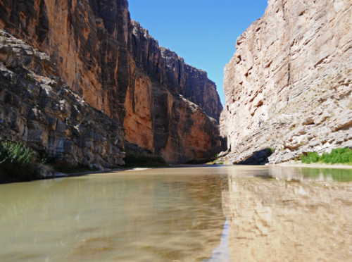
I descended from my campsite which was around 3,000 feet all the way down to one of Big Bend’s highlights, the famous Rio Grande! As a river, the Rio Grande isn’t anything impressive, but the significance of water in a dry desert meant life and death to early settlers and explorers, and this river today forms part of a natural border between Mexico and the United States. In both photos above, in the left hand side of the water is Mexico and on the right side is the United States. I actually crossed the river by foot since it was so shallow, so technically I was an illegal immigrant for a short period of time. Each year thousands of people attempt to illegally cross the Rio Grande into the United States in search of a better life. I wouldn’t imagine many would try at the national park since there are so many park rangers and a border patrol nearby, but I’m sure lots have attempted the crossing right here at some point in time. When I visited in March, the temperatures here were close to 100F, or 40C. In August, it can get close to 120F or as high as 50C, making this trek a death sentence for anyone unprepared.
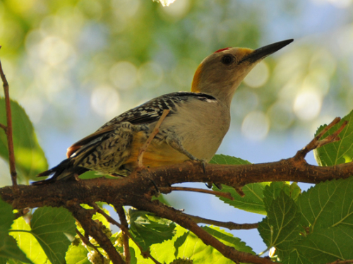
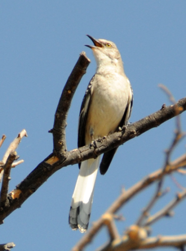
Where there is water there is life, and in Big Bend the Rio Grande’s guaranteed supply of water is enough to support cattails and some very green plants and even tall trees. I had a picnic here and though it was hot in the sun, while in the shade of the trees it was quite relaxing. Some other parts of Big Bend where horrible when it came to flies, but despite being close to a water source the bugs here weren’t bad and didn’t ruin my picnic. The Rio Grande is also a great place for bird watching, the two photos below were taken along the river.
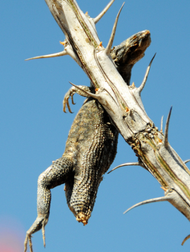
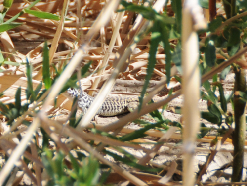
While hiking around the cattails I heard a lot of noise and caught the photo on the lizard on the right scurrying through the vegetation. The lizard on the right I found exactly as he is in the photo. I assume he got picked up by a bird and dropped and fell into one of the many thorny plants that was in the area. I didn’t step directly on a Cactus while in Texas, but at one point I kicked one on accident and had a spine go through my shoe and into my foot which i had to painfully remove once I got back to my hotel.
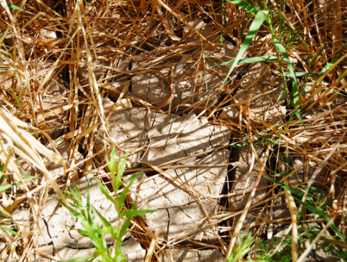
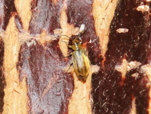
As I mentioned earlier, a local had told me that Big Bend hasn’t received any rain for well over a year. That will obviously make the Rio Grande much lower than it should be, but of course water will still flow. Above on the left is some cracked mud that resulted in the river going down in height, which stayed long enough for plant life to take over. On the right is a bug I found along the Rio Grande.
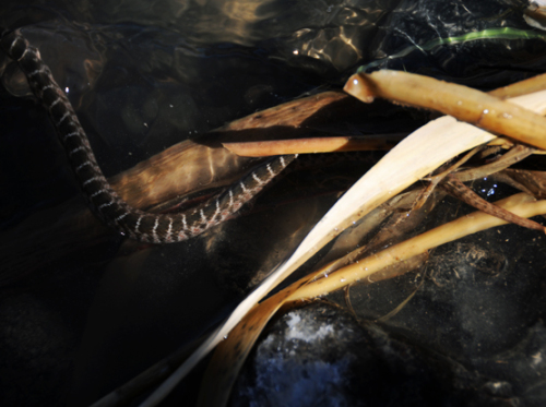
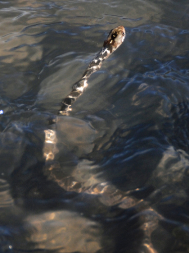
When I crossed the Rio Grande, I was trying to avoid getting wet so I went about throwing rocks to make some stepping stones to cross. This didn’t work out well, but anyway as I was lifting the rocks up I came across this guy, a blotched water snake! They are not poisonous and small in size. As soon as I lifted the rock up the snake dove into the water and swam to Mexico.
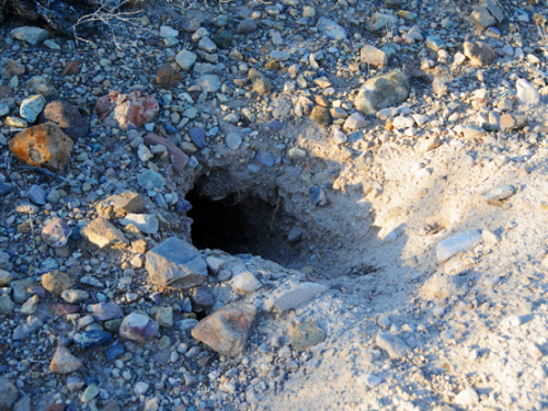
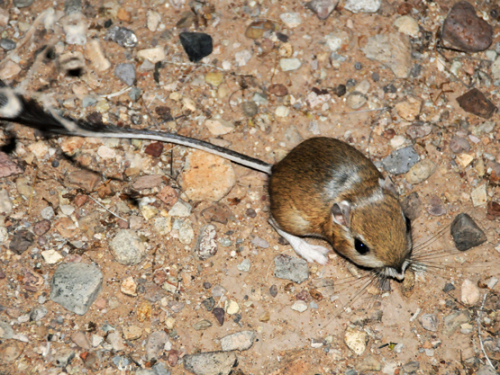
One of the most unique animals I saw in Big Bend was the Kangaroo Rat. The photo on the left was taken during the day time of what I imagine to be the Kangaroo Rat’s den. On the right is a night shot I took using flash of a Kangaroo Rat that ran through my camp. These animals have adopted so well to the harsh desert environment that they don’t even need to drink water! Their body’s are so efficient with water that all the liquids they need they are able to absorb through their food alone.
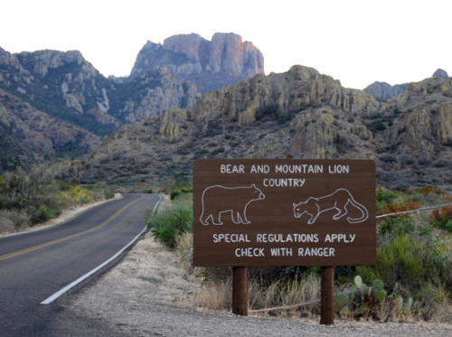
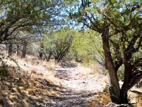
On my last day in Big Bend, I went to the Chisos Basin to go hiking. I had no idea that the basin begins over a vertical mile in altitude and has lots of small trees. The higher elevation means much nicer weather though the sun is still strong. With trees and cooler weather, more animals can make their home here including mountain lions and black bears. Mountain lion attacks are extremely rare, but only a month before my visit hear a six year old boy was attacked by a mountain lion but survived after his parents fought back. Above is a warning sign about bears and lions, on the right is the beginning of a trail I did up to Emory Peak, the highest within the Chisos mountain range.
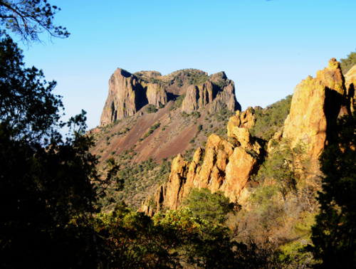
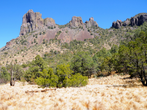
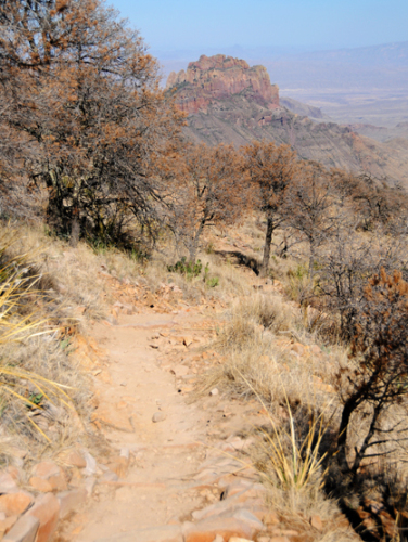
Almost immediately during the hike you’ll start to see some amazing scenery like these two shots above. I did my hike in the late afternoon so I the colors where much better than they would have been in the middle of the day. The hike to Emory peak has an elevation gain of 2,400 feet so you’ll get to see different vegetation zones during the hike. On the right is a large gentle grassy field that I passed through in front of a mountain.
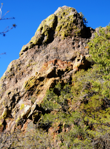
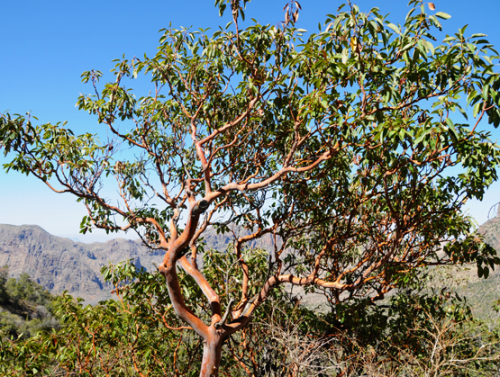
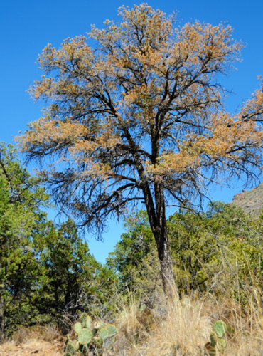
The colors of both the rocks and some of the plants here are amazing. On the left is moss that is growing off rock and giving off colors of yellow and green. The photo on the right didn’t come out so well, but the tree is actually dark red.
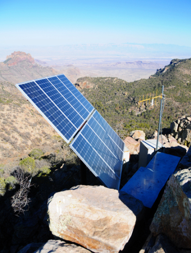
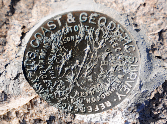
As I climbed higher, the terrain seemed to inconsistently change back from tall trees to dry shrubs back to larger trees again. After about 3 hours from leaving the trail head I reached the summit of Emory Peak at 7,825 feet. At the summit was a US Coast and Geologist mark from some type of survey they once did, and on the right you can see a photo of a large solar panel they put up. I saw another one on an adjacent rock and not sure what it would be powering up at this remote location other than a temperature or wind read out for weather purposes.
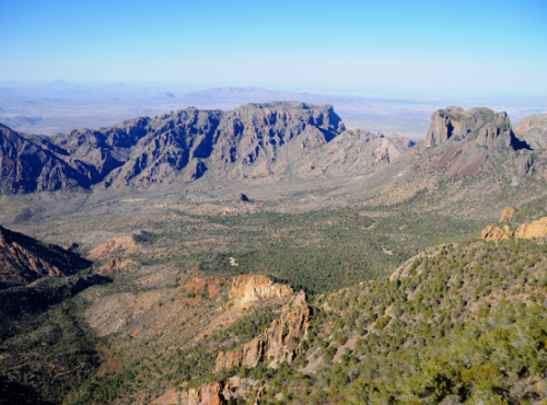
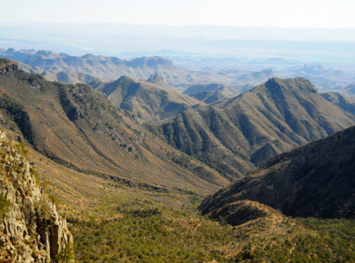
From the summit of Emory Peak, you can see the entire Chiso Basin on the left. I think this is certainly one of the most amazing views Texas has to offer and I love seeing mile after mile of nature with few signs of human presence. On the right hand photo is the opposite side of Emory peak looking north, where some more gentle tree covered slopes appear until the mountains eventually turn back into the hot desert.
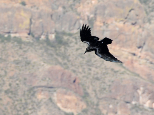
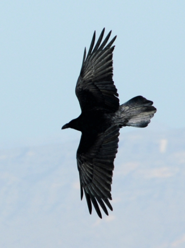
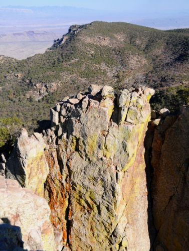
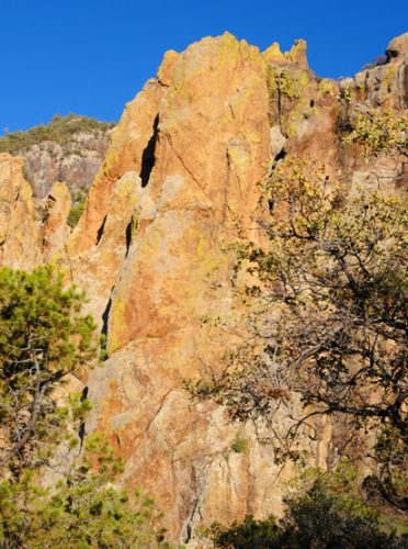
On the decent from Emory Peak, I saw lots of black birds circling the mountains looking for food, and once again came across some amazing colors during the sunset. The bottom left photo was directly below the summit, and the steep drop actually surrounded most sides of the summit. I forgot to mention there was a bit of a scramble that took only five minutes, but involved your hands and legs but there wasn’t any real exposure.
