Visiting Centralia
Centralia isn’t a well-known destination, and I’d bet that many people wouldn’t go out of their way to visit. My friends and I ended up in Centralia because we wanted to stop by on our way to the Allegheny Mountains for a camping trip. None of us expected much from Centralia, but surprisingly, we all agreed this turned out to be the most interesting part of our trip! The town gained some attention after being linked to Silent Hill, a video game and movie inspired by its coal mining history and tragic past.
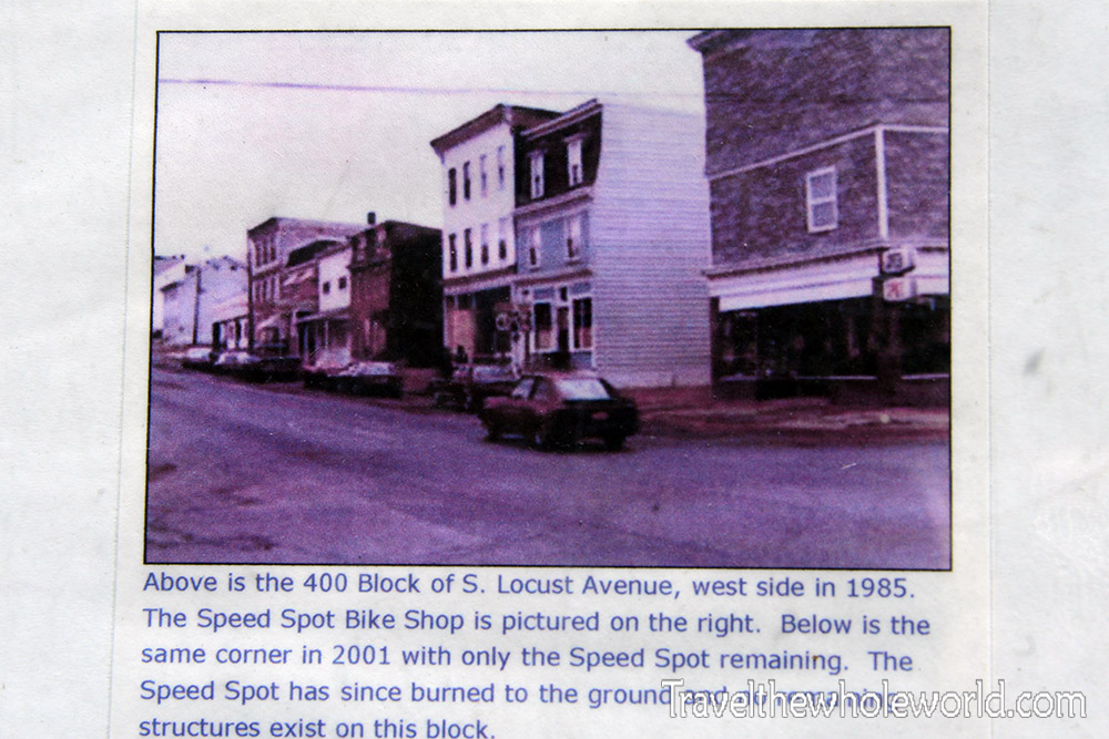
The photo above shows what Centralia looked like in the 1980’s, but today the town no longer exists. The game and movie story lines are both very different from each other, but both involve people who are lured into Silent Hill. I never played the game, but in the movie there are random cycles when people suddenly receive a warning from a blaring air raid siren. Each time the siren comes on, the town decays, the ground often split open revealing a hellish fire below, and evil takes over.
If you visit Centralia today, this is what you’ll see. Nearly all the structures have been demolished and only three remain. The true story of Centralia’s destruction began way back in 1966. This entire region of Pennsylvania is known for coal mining. A fire started in one of Centralia’s coal mines and slowly spread. Because it burned so deep underground, there was no effective way to control it.
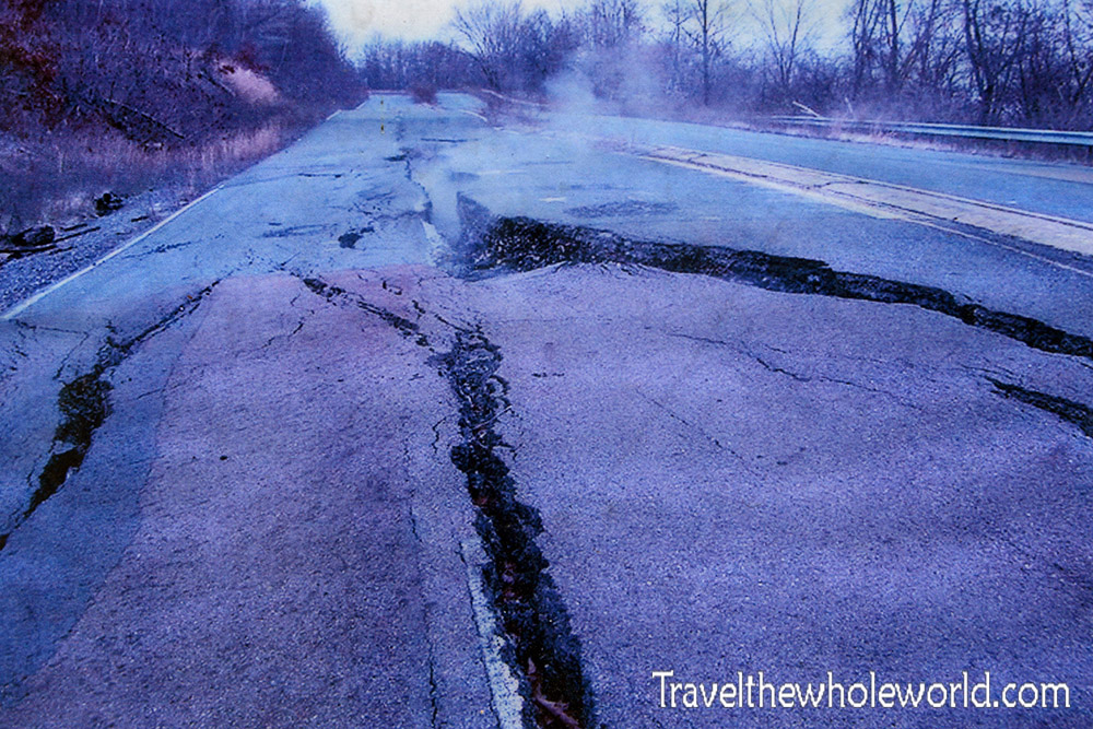
The fire slowly spread and burned for decades until it reached the heart of Centralia. Random holes began opening up in the ground, streets were split open, and toxic smoke poured out. There was a serious risk that a person or home could suddenly be swallowed up by an opening and consumed by a scorching fire. Even the air quality became dangerous, but it wasn’t until the fire burned for 20 years that the US government finally gave the order to evacuate the city. This photo above was taken a long time ago and I photographed it in a museum. It shows one of the main highways in Centralia that split open under pressure and heat from the underground fire.
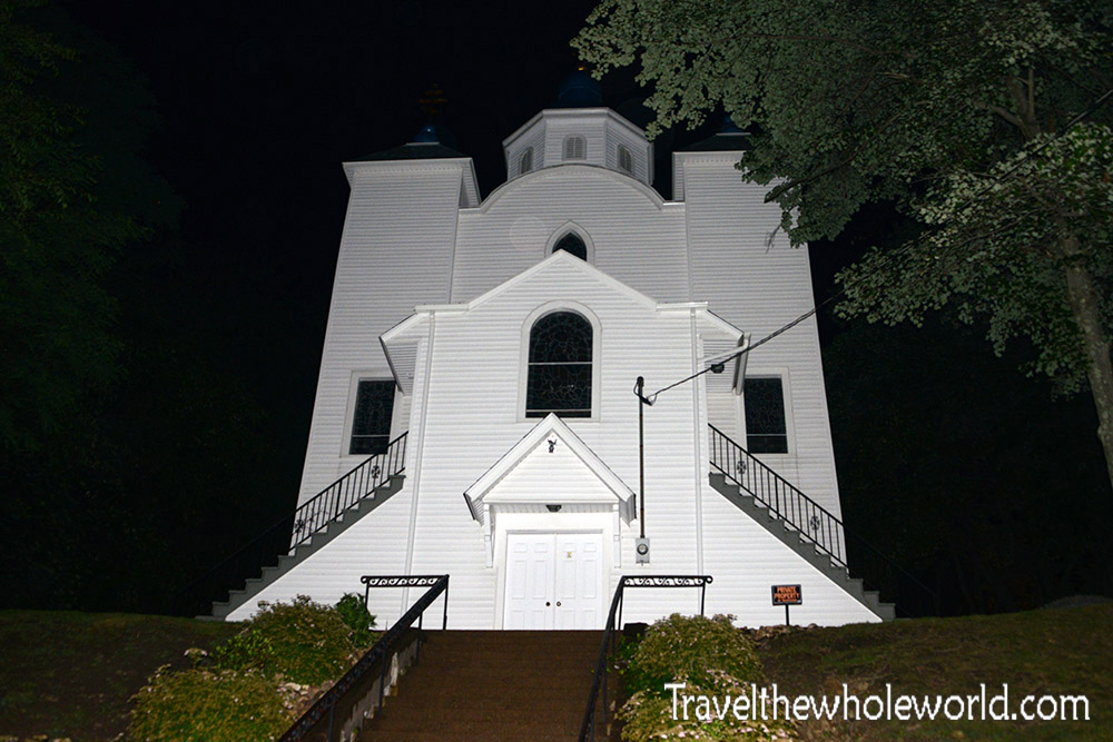
Most residents of course weren’t happy with relocating, and many fought the order. Over time eventually nearly everyone left, but today three buildings still remain. One of them is this Church, Assumption of the Blessed Virgin Mary that was built in 1911. In the movie, the church was the only sanctuary that evil couldn’t enter, probably partly inspired that the church is one of three structures to survive the disaster here!
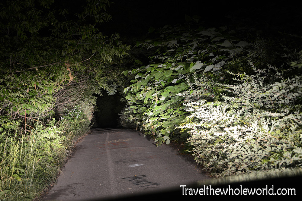
So knowing the backstory of the abandoned town and siren, you can image what it felt like for my friends on our first visit here. We entered Centralia just after midnight. We were driving around the abandoned roads that were covered in graffiti or even sometimes overtaken by nature. We were a bit confused if it was illegal or not to even be here. 15 minutes hadn’t passed since our arrival when suddenly we heard the blaring siren. It was so loud and unexpected none of us knew what to think. For a split second I thought I was imagining it, followed by thoughts the siren had gone off because we were spotted for trespassing and about to be arrested. This was all so unexpected so I have to admit, between backpacking Congo, to being beat up by hurricane force winds on Mt. Everest, this was one of my unique traveling experiences! The siren continued for several minutes until suddenly dying off. We had no idea what triggered it, why they even have one, and what was going on that night. As we left that area we found some police and fire trucks blocking off a road and waving people by with a wand.
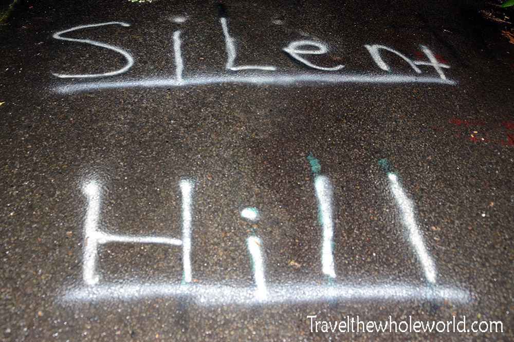
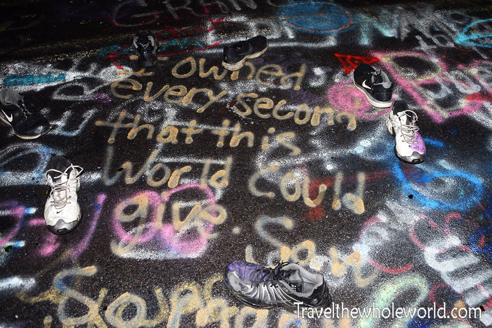
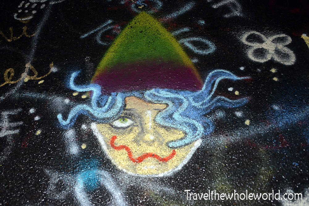
When we had been driving around before the siren went off, our goal was to find the infamous Graffiti Highway. We had mistakenly thought where I took the Silent Hill photo was the right place. When you come across the real thing, you’ll know you’ve found it. The highway is wide with two lanes in each direction, and is completely covered in graffiti from end to end. For some reason the police had seemed to be blocking the north entrance to Graffiti Highway after the sirens went off. We got back in our vehicle and starting driving south, and found another way in. The photo above shows some strange circle of shoes we came across. Below is some of the random images that were painted. We still weren’t sure if we were even allowed to be here!
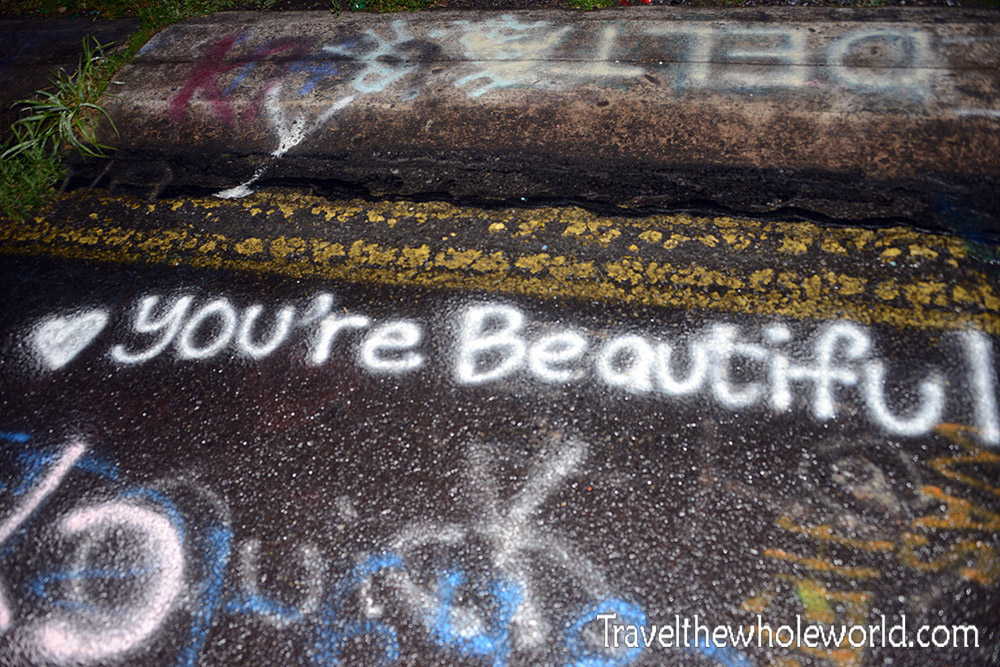
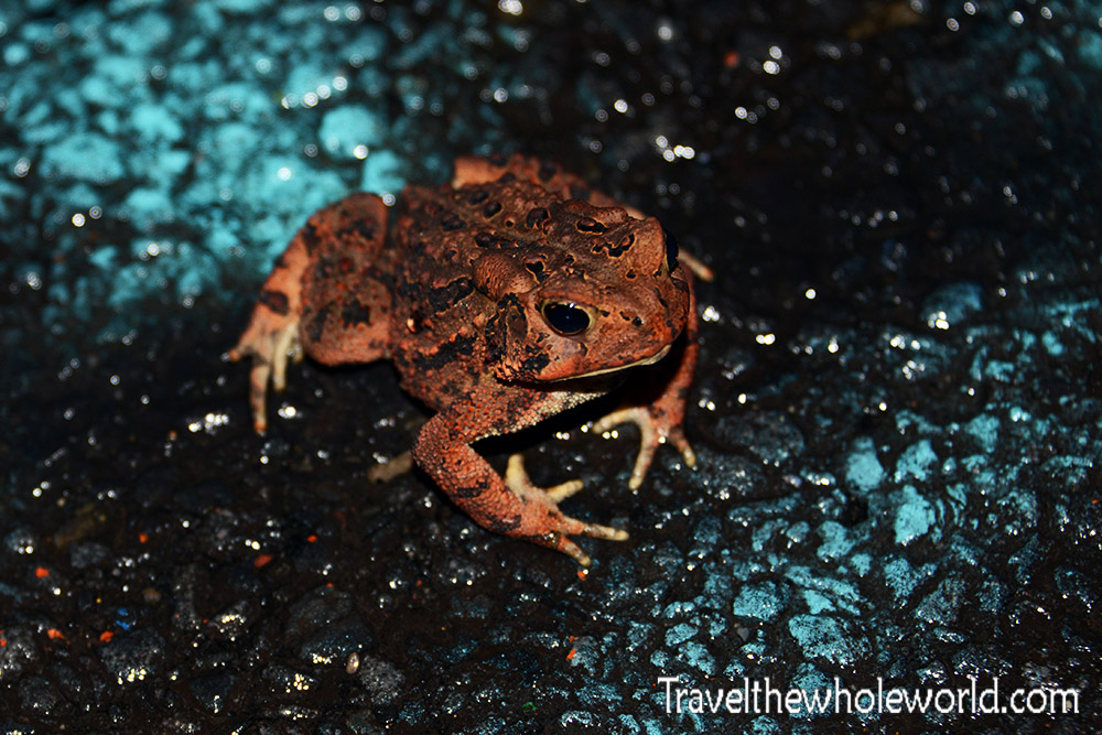
Most of the graffiti was pretty vulgar or just random curse words, but a small percent was actually positive! If you visit Graffiti Highway during the summer night like I did, be mindful of all the toads hoping around. There are a lot of them like this guy below and I seriously almost stepped on a few.
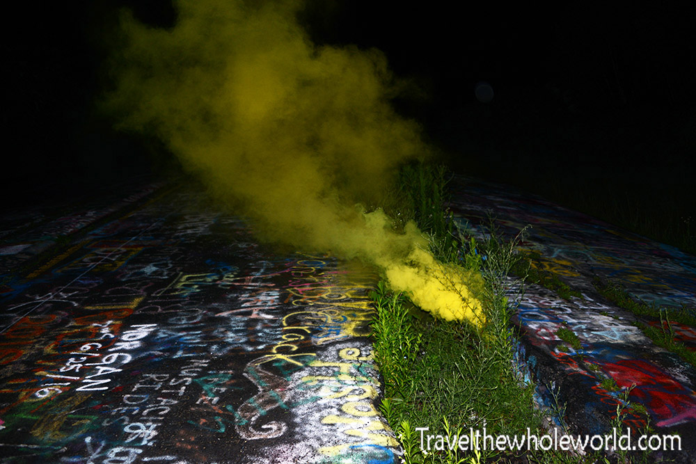
The first photo I showed in the beginning of this page of the cracked road and smoke coming out is what later became Graffiti Highway. Nowadays most people believe the fire has burnt itself out, or at least moved far enough away that it’s no longer a threat to Centralia. Some people are even trying to return and have the town developed but without much success. With the fire mostly having died down in this area at least, you’re very unlikely to see any smoking craters or streets anymore. Being the July 4th weekend, my friend actually had brought some fireworks and smoke bombs, so we were able to make our own!
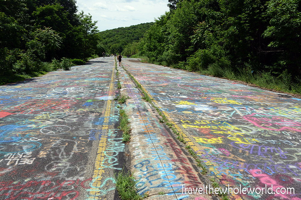
I had imaged Graffiti Highway to be a short distance, but it actually goes on for at least a mile. It’s impossible to photograph the distance at night since it’s so long, but we returned in the day time and you can get an idea of how long it is above.
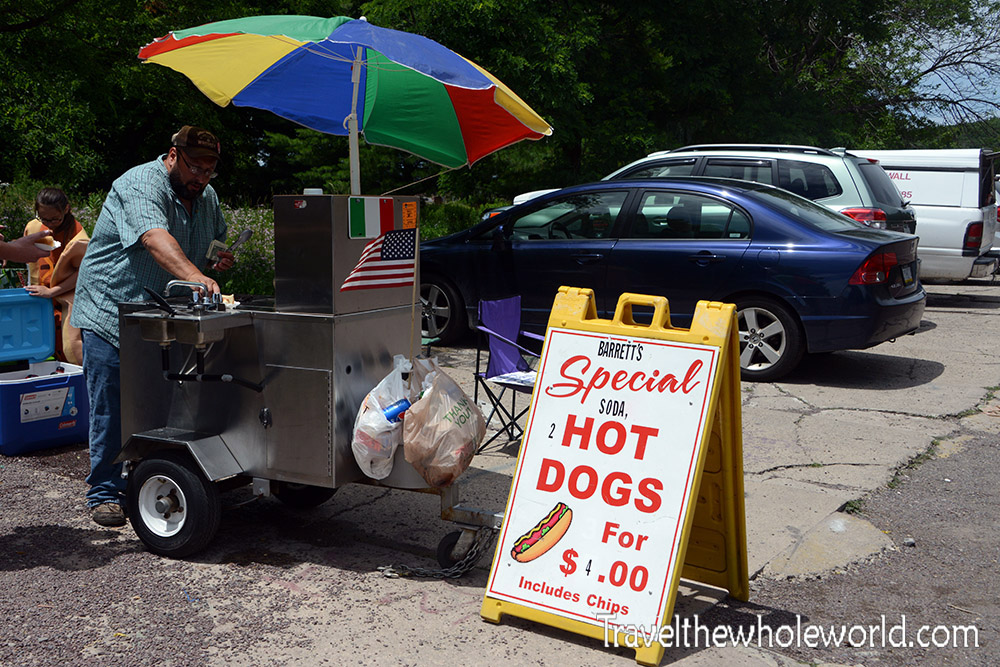
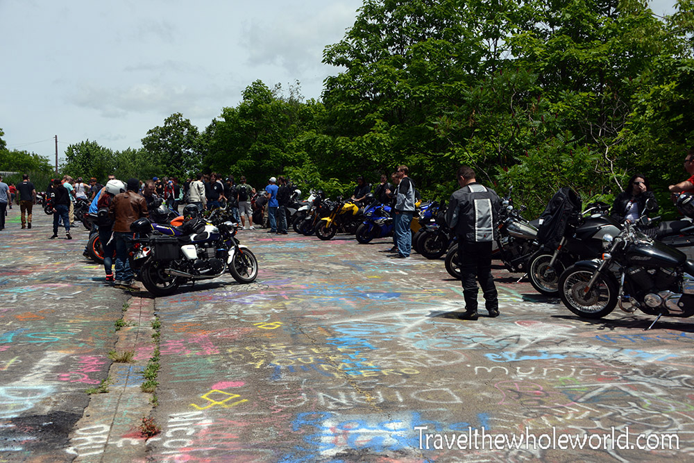
In my first daylight photo of Centralia you can clearly see that there are other people on Graffiti Highway. When we had first visited we were unsure if this area was off limits and the consequences for visiting. The next morning, as it turns out now only was there other people here, but the place was crowded. There was even a hot dog stand!
This photo shows a large group of bikers who entered the highway from the area that the police had closed off the previous night. Some of my friends felt that seeing the hot dog stand and all those people ruined the experience a bit. It went from some unknown creepy and abandoned place to a tourist attraction in just 12 hours. There are other places of interest to visit aside from Graffiti highway. Another is the Centralia cemetery, and though I visited I didn’t photograph it. There are pipes in the cemetery that help vent the smoke from the fire below, but my understanding is nothing comes out of them anymore.
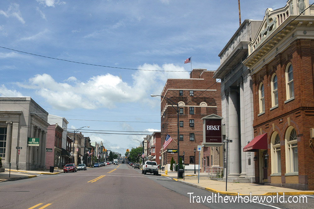
Something else with Centralia that I wasn’t expecting was its close proximity to civilization. Just minutes away is this town of Frackville that is relatively large by the area’s standards. There’s sort of a main street photographed above that has a few weird shops, bars and hotels to stay at. Despite its close proximity to Centralia somehow this area wasn’t affected by the underground fire. We thought that the new mining technique known as fracking was where the town got its name, but that turns out to be a coincidence. The town was named after an early settler named Daniel Frack and was founded in the 19th century.
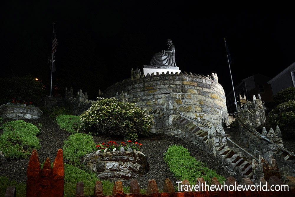
Like Centralia, the neighboring towns also were developed from the coal mining business. In Frackville we found this large memorial. The memorial is actually called the Mother’s Memorial, and was built to show the support miners received from others during the Great Depression when many lost their jobs and times were extremely difficult. A nearby sign describing the memorial says, “It symbolizes abiding affection for family and community felt here and in the industrial US”.
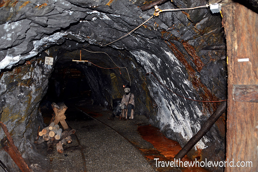
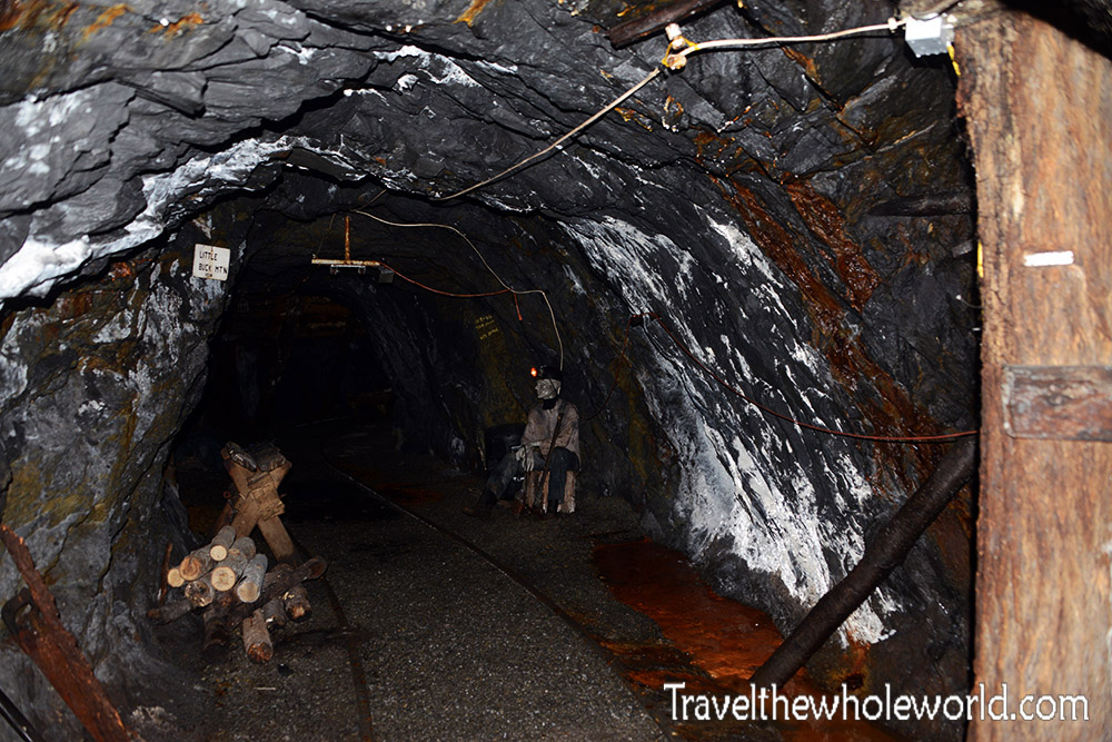
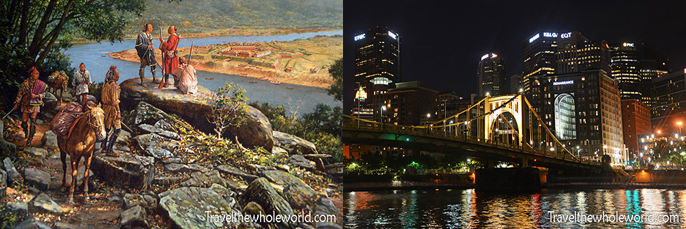
Since the Centralia mine will forever be off limits and would probably be a death sentence for anyone who tried to enter anyway, you can actually still tour mines in Ashland if you’re interested. Ashland is like Frackville and just a few minutes away from Centralia. As a matter of fact, I still thought I was in Frackville when I found the mine tour! There are a few signs outside that describe the fire in Centralia, and this is where I saw the vintage photos. Otherwise during the actual tour itself, Centralia wasn’t even mentioned.
To enter the mine you actually ride a little train that pulls three cars. We had to pack dozens of people on it and I seriously expected to be kicked off the tour and told to join the next. The ride inside the tunnel is pretty short, and you could easily walk it if needed. The tour begins 400 feet underground where temperatures are much cooler than outside. Signs warned it was a constant 49 degrees (10C) all year around and to dress appropriately. I wore shorts and a t-shirt and felt fine inside, so I believe it was closer to 60 degrees (15C).
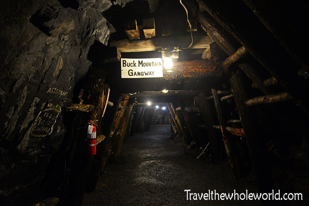
The mine here is known as the Pioneer Tunnel and is actually abandoned. The mine ran way back in the early 1900’s until mining stopped in the 1930’s as a result of the Great Depression. The Miner’s Memorial we saw earlier shows how hard the communities were hit. It took a long time for the mines to resume, but they finally closed for good in the 1960’s. The photo above shows the one of the gangways in the mine, below is an example of how miners used to detonate charges in order to make it easier to harvest the coal.
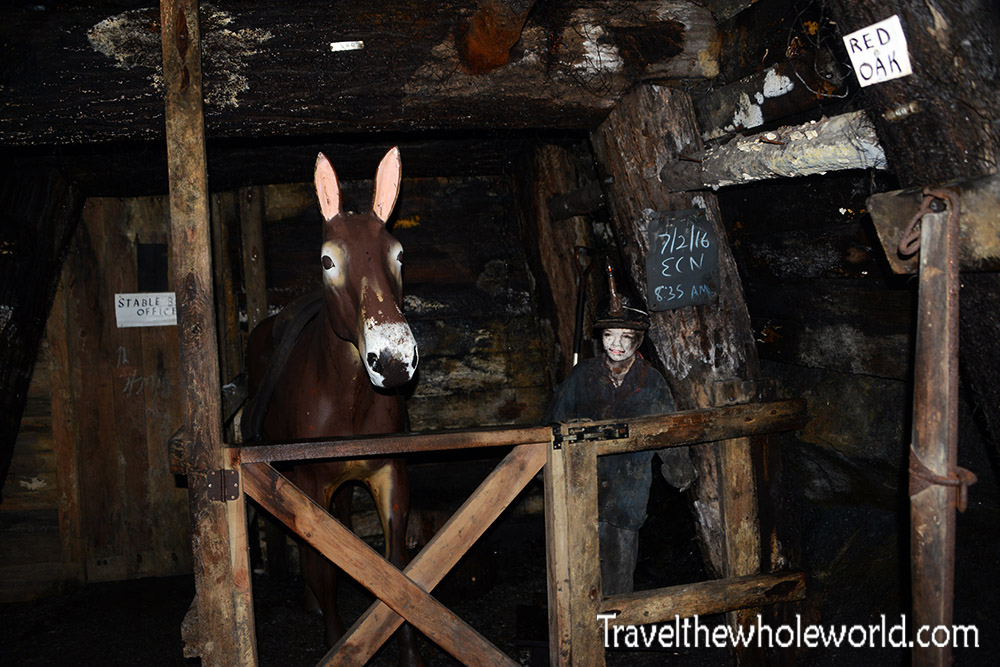
Something else I learned here was that back when the mine first started, mules were the primary workers in the Pioneer Tunnel. Every single day, the mules were responsible for carrying tons of coal to the world outside. Because mules were expensive, miners were instructed that if there was ever an emergency the mules were to be the first to be evacuated. The mules disliked leaving the coal mine and returning again, so it was easier to make the mules live permanently inside. The photo above shows one of the stables that housed the mules. The practice of using animals to work in the mine was banned in the United States in the 1960’s.
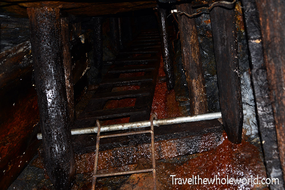
While the mules were supposed to be the first ones taken out of the mine, depending on the situation it wasn’t always practical. The photo above shows one of the escape tunnels that goes up vertically to the surface. In an absolute worse case scenario that the mine had completely collapsed, the workers would have had options to climb out through escape tunnels like these.
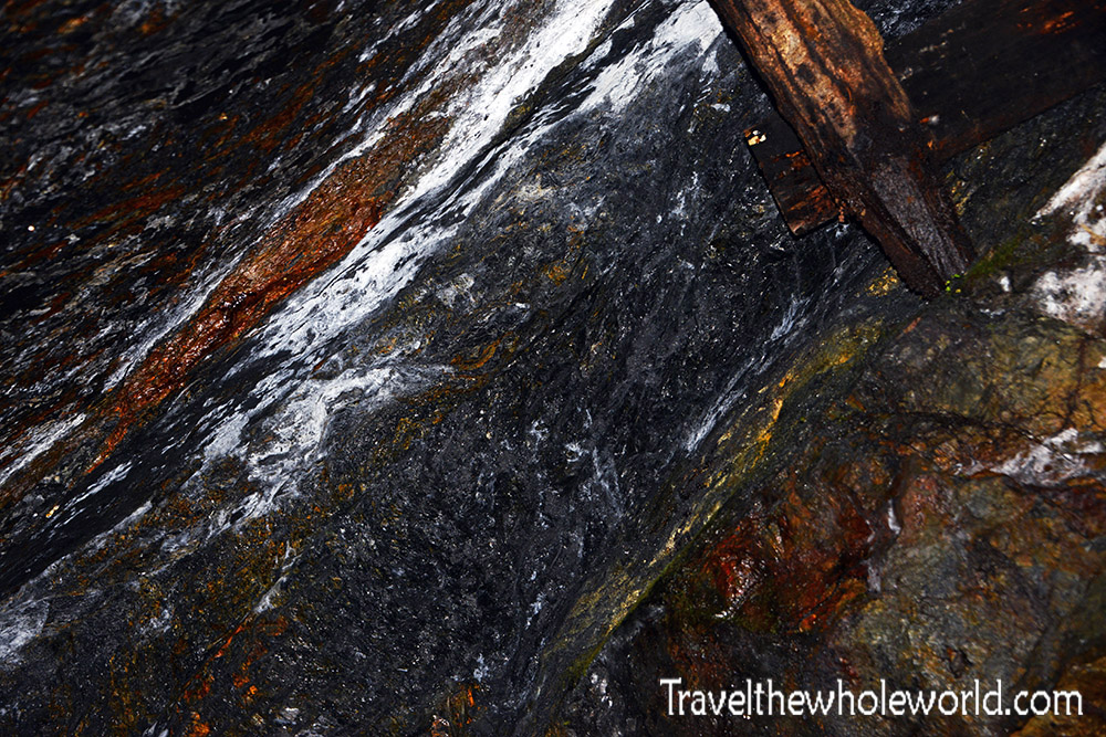
Something special about the Pioneer’s mine is that it’s made of anthracite coal. Coal is generally separated into two types, soft or hard coal. Anthracite is the purest, hardest and highest quality of coal in the world. Coal was formed by small ancient plants being compact deep underground over millions of years. Coal generally formed a horizontal layer underground known as a vein. They get their name veins because they are usually small areas surrounded by rock on each side. As the mountains in Pennsylvania began to form, the horizontal veins began to get pushed up vertically. This photograph above isn’t very telling, but it’s the largest known anthracite vein in the world! Anthracite coal is the same type of coal that began to burn in the 1960’s in Centralia.
