Visiting Arches National park
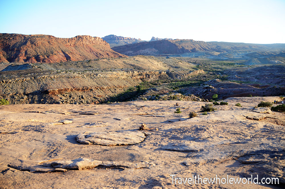
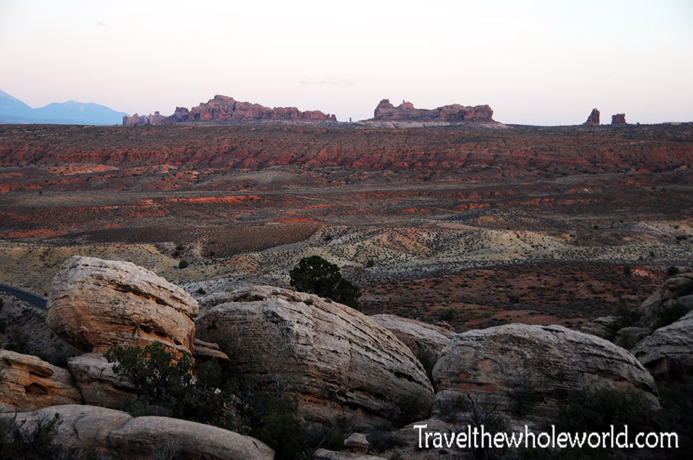
In eastern Utah past the Uintas mountains you’ll find the beginning of the Colorado Plateau. This massive desert plateau spans four states and is home to an incredible nine American national parks! I only had time for one, and decided to see the famous desert arches just outside of Moab, Utah. These two initial photos above and below show the general landscape of Arch’s arid deserts.
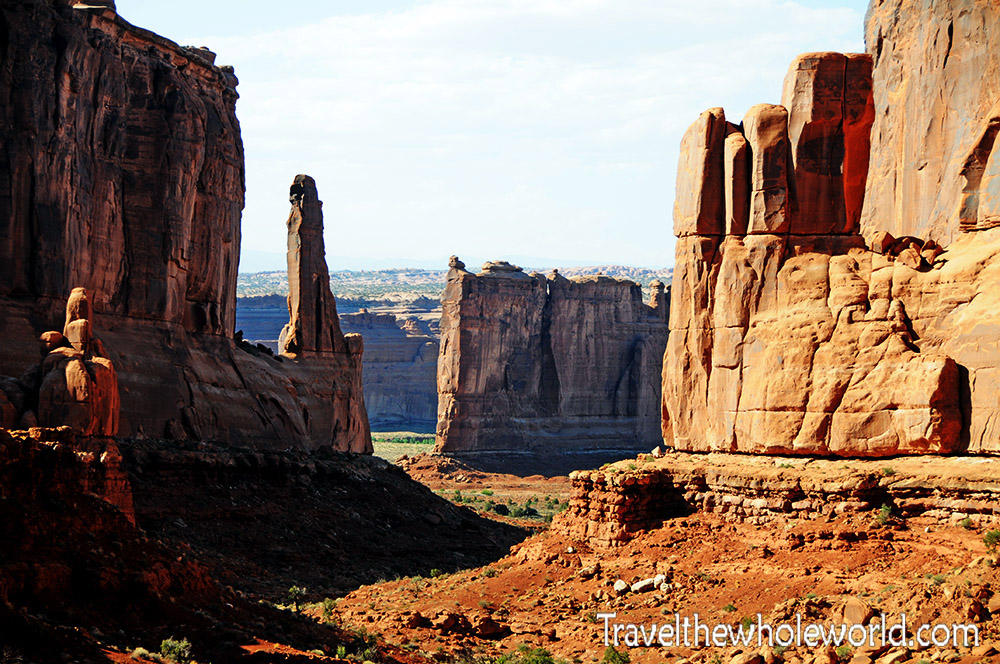
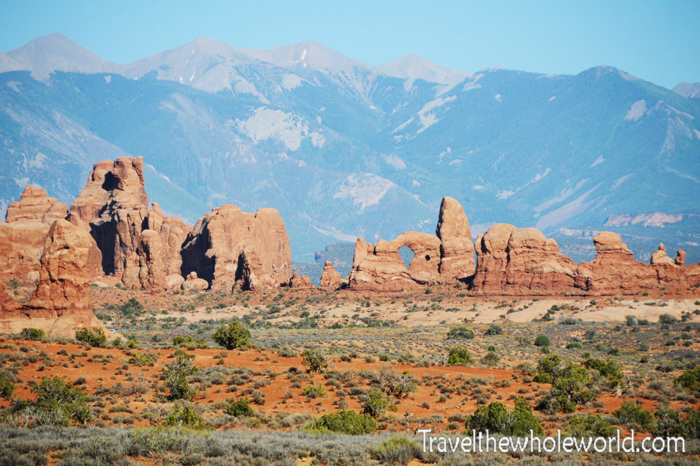
This national park is home to over 2,000 sand stone arches and beautiful desert scenery. To make the most use of your time, you should definitely use an Arches National Park Guide. As soon as I entered the park I was blown away by these first views of desert canyons and towering rock formations. Below you can see some more scenery deeper within the park, and some of the first arches in the distance.
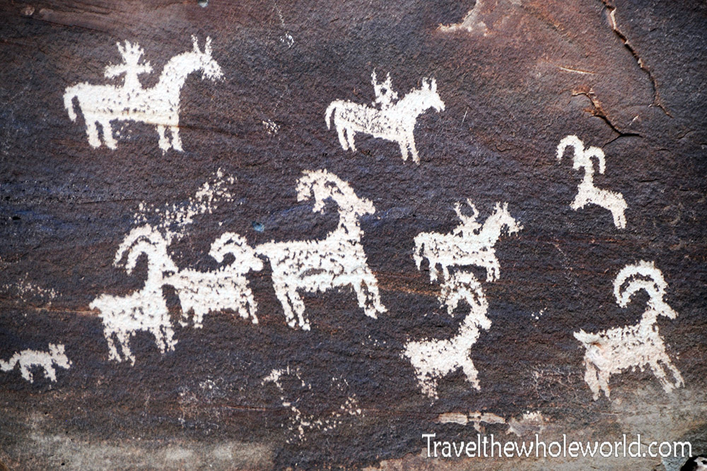
After my trip here, I realized I should have taken more photos of the Arches themselves. Before I get into the few arch photos that I have, I wanted to share these petroglyphs I came across. These petroglyphs are believed to have been created by Native Americans several hundred years ago. While it’s believed the first people visited this area about 10,000 years ago, the age of the petroglyphs are a bit easy to figure out. You can see that some of them show men riding horses, and since horses were introduced to the New World by the Spanish, the petroglpyhs are likely around 250 years old.
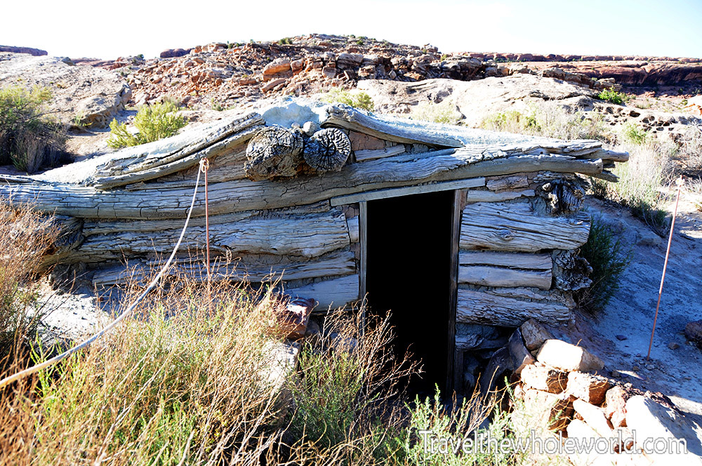
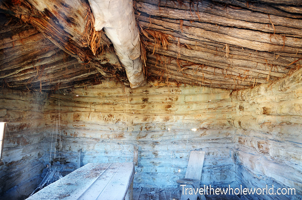
The Colorado Plateau can see deep snow in the winter and unforgiving heat and dryness in the summer. It’s hard to imagine anyone would ever want to live here under primitive conditions. Unlike the Petroglyphs, the story of this cabin is known. It’s called the Wolfe Ranch, and served as the home for a Civil War veteran who actually was seeking out the drier climate due to a leg injury from battle. He settled in the area around 1888, and after over a decade in harsh conditions he significantly upgraded his life by building this humble cabin for his family.
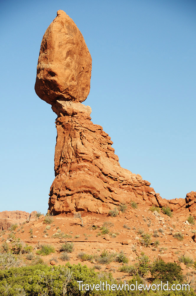
Back to the desert! One of the most famous features here is Balanced Rock. The rock tops out at 128 feet (39 meters). The massive boulder you see at the top from which it gets its name is the size of three school buses. I’d certainly not want to be anywhere near here when the rock eventually tumbles down. A similar feature to this once existed in arches as well but eventually tumbled down before I existed in the mid 1970’s.
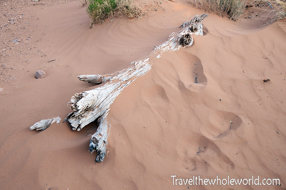
Balanced Rock and several other of these previous photos were all taken from areas right by the park road. My favorite activity is always hiking, and the trail I did here was one of my favorite desert hikes. The hike I did was easy but kept me entertained with lots of spectacular views. One of the first photos I took was of this dead tree above. Not usually an interesting site, but in the middle of a desert where trees are rare it was definitely something that was unexpected.
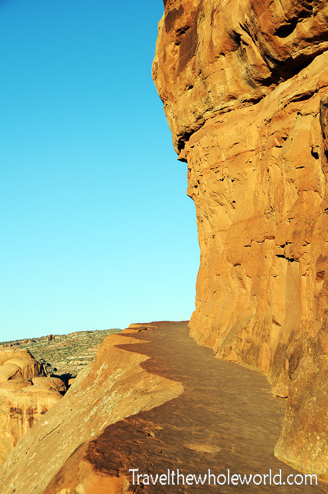
My hike was rated as strenuous by the national park service although I personally found it to be easy or at the most moderate. It’s also the most popular in Arches national park, and directed me to perhaps the most famous natural arch in the world. The trail went over some unique terrain, such as this natural stone trail above.
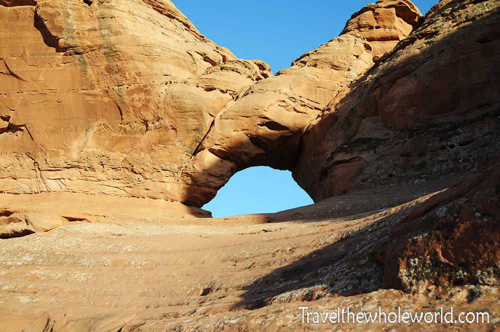
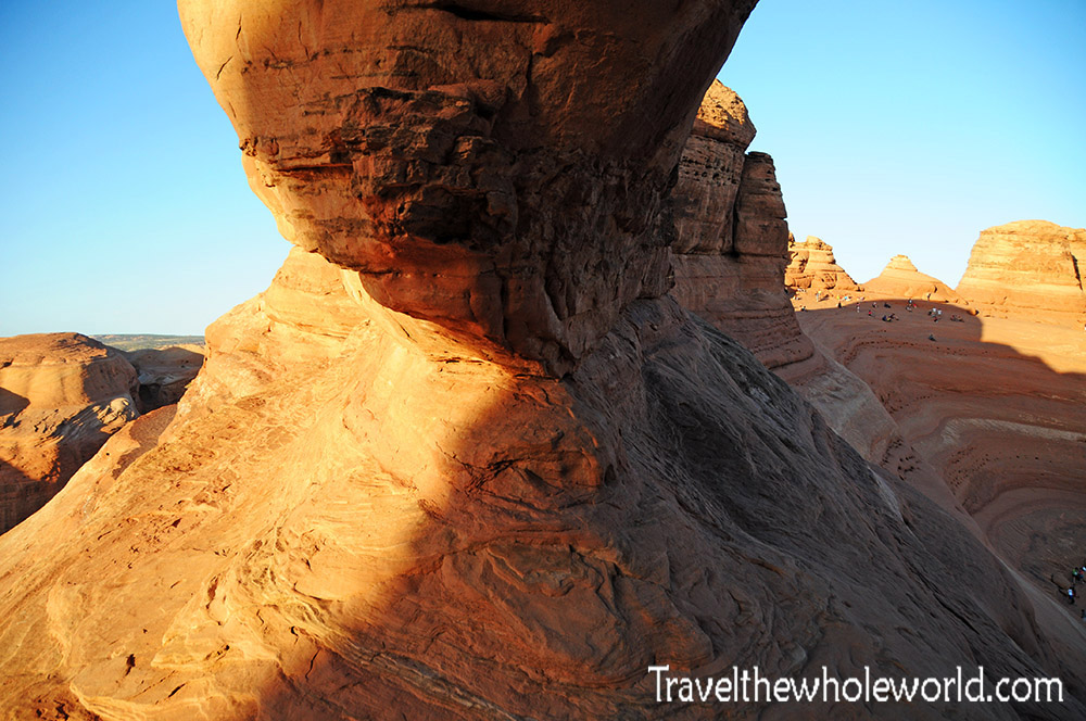
Along the way you pass several other arches, such as this one above. Others you can actually enter, and some smaller ones you can even crawl through. The photo below shows a side view of one of the arches that I had entered.
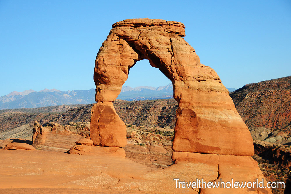
When I finally reached Delicate Arch, I had approached it from the opposite side of the trail which meant clinging onto the rock while hanging over a much more intimidating drop. It was a fun route and certainly less crowded than the main trail. The Delicate Arch is nationally famous and receives millions of visitors a year. At the time of my visit, there were about 50 people at the actual arch which forced me to wait a long time to get a photograph without a crowd in front of it. The arch stands at 60 feet (18 meters), and is a state symbol of Utah.
